10/20/2014 4:05:16 PM | admin | News

Until now there is one adverse seismic machines can only render the underground tremors. In order to know the magnitude of these shocks, usually it takes a relatively long time. Meanwhile Freymueller standpoint, the GPS system, people can get to be very fast and fairly accurate distance between the soil movement.
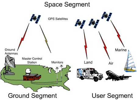
Identify important factors tsunami faster and more accurate thanks to the global positioning system GPS (Global Positioning System).
If you set up multiple GPS systems in areas at risk of earthquakes, one can immediately identify just a few minutes later in the center warned, if both the earthquake occurred at sea.
Freymueller said recently invented a machine capable of coordinating function of the GPS system with the classical seismic recorder. Can set these machines apart a few hundred miles at sea and worth less than $ 10,000 per machine.
According Freymueller, perhaps the victims of the tsunami in late 2004 not so much so as if they had two hours to evacuate refugees.
But the analysis to identify seismic intensity at sea have long lasting for several hours, and the terrible tsunami that has struck so suddenly not be able to respond.